Survey protocols and data standards to inform the impact assessment of renewables projects
Funded by the Department of Climate Change, Energy, the Environment and Water (DCCEEW), Renewables Environmental Research Initiative (RERI)
Indicative List of Protocols in Development
The Protocols in development are listed below. Please note this is an indicative working list, and likely to evolve as the project progresses. TERN will endeavour to update this information throughout the project. Once progressed, the protocols will be grouped into logical Modules.
New Protocols
A new module is likely to be developed to specifically for methods that involve the use of detection dogs, with protocols on:
- Detection dog training
- Detection dog surveys
A new module is likely to be developed specifically for the collection of eDNA samples, with protocols for:
- Disinfection and contamination prevention
- Sample collection
- Sample storage
A new module is likely to be developed to specifically target aquatic reptiles (i.e. turtles), and include protocols for:
- Visual survey transects
- Snorkel transects
- Trapping
- Seine netting
- Nest site monitoring
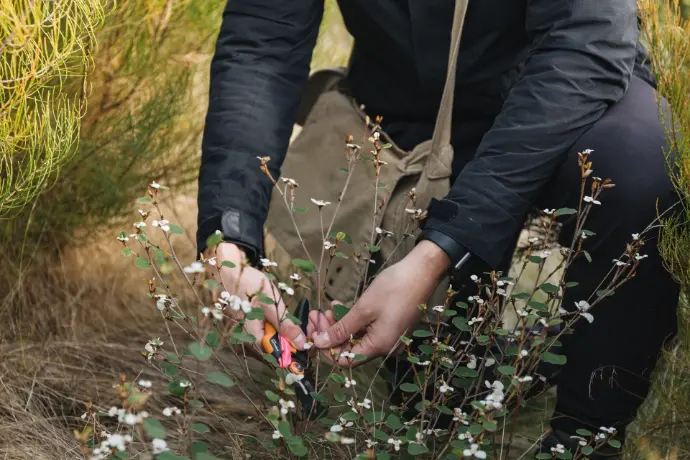
The intention of the Habitat condition mapping protocol is to map the condition of defined habitats within the project area, and capture information on fauna refuge areas not captured in other protocols. Note that the condition will involve actual measurement of habitat attributes, rather than qualitative, arbitrary scores. It is envisaged that this protocol will use GIS software to map vegetation associations.
A new module is likely to be developed specifically for post-construction fatality monitoring, with protocols for:
- Carcass persistence
- Searcher efficiency
- Mortality surveys
- Incidentel records
These terms of service ("Terms", "Agreement") are an agreement between the website ("Website operator", "us", "we" or "our") and you ("User", "you" or "your"). This Agreement sets forth the general terms and conditions of your use of this website and any of its products or services (collectively, "Website" or "Services").
Although this Website may be linked to other websites, we are not, directly or indirectly, implying any approval, association, sponsorship, endorsement, or affiliation with any linked website, unless specifically stated herein.
You should carefully review the legal statements and other conditions of use of any website which you access through a link from this Website. Your linking to any other off-site pages or other websites is at your own risk.
Edits to Existing EMSA Modules
Edits to the existing EMSA modules to allow for data collection via data-sheets and data-forms rather than the Monitor app, with some additional fields included to capture information to inform impact assessment.
The existing Aerial Fauna Surveys Module will be adapted for field data collection using a data-form (or data-sheet) rather than the Monitor app.
New protocols may be included to include uncrewed aerial vehicle (UAV) survey methods
These terms of service ("Terms", "Agreement") are an agreement between the website ("Website operator", "us", "we" or "our") and you ("User", "you" or "your"). This Agreement sets forth the general terms and conditions of your use of this website and any of its products or services (collectively, "Website" or "Services").
The existing Camera Trapping Module will be adapted for field data collection using a data-form (or data-sheet) rather than the Monitor app. New protocols for video capture may be added.
Although this Website may be linked to other websites, we are not, directly or indirectly, implying any approval, association, sponsorship, endorsement, or affiliation with any linked website, unless specifically stated herein.
You should carefully review the legal statements and other conditions of use of any website which you access through a link from this Website. Your linking to any other off-site pages or other websites is at your own risk.
The existing Fauna Ground Counts Module will be adapted for field data collection using a data-form (or data-sheet) rather than the Monitor app.
The existing Transect protocol and Vantage point protocol will be adapted to include fauna behaviour and habitat utilisation fields, and allow for call playback to be used.
New protocols that may end up being grouped into the Fauna Ground Counts Module include:
- Emergence counts - to include flying-fox camp flyouts, and the use of video and thermography
- Vantage point raptor nest monitoring
The Opportune Module for Impact Assessment will be based on the existing EMSA Opportune Module, and include additional fields to capture fauna behaviour and habitat utilisation. The module will also be adapted for field data collection using a data-form (or data-sheet) rather than the Monitor app.
The existing Signs-based Fauna Surveys Module will be adapted for field data collection using a data-form (or data-sheet) rather than the Monitor app.
The existing Transect protocol and Vantage point protocol will be adapted to include fauna behaviour and habitat utilisation fields, and allow for call playback to be used.
The existing Vegetation Mapping Module will be adapted for field data collection using a data-form (or data-sheet) rather than the Monitor app.
The protocol will be similar to the protocols of the existing Vegetation Mapping Module, but include steps to map entire project areas, and distinguish different zones and development footprints. It is envisaged that this protocol will recommend GIS software to map vegetation associations.
The existing Vertebrate Fauna Module will be adapted for field data collection using a data-form (or data-sheet) rather than the Monitor app.
The existing Trapping survey set-up and closure protocol will be adapted to enable different trap types to be used, and a more flexible trapping grid layout. Similarly, the Identify, measure and release protocol will be adapted to cater for different trap types, refuge types, and net traps being used.
The 2 hectare, 20 minute bird surveys and 500 metre area search protocols will have additional fauna behaviour and habitat utilisation fields included.
All bird survey protocols may be moved from the Vertebrate Fauna Module to a new Bird Survey Module.
The Active and passive search protocol will be adapted to be conducted off-plot (i.e. not the currently required 100 x 200 m 2 ha plots) with the surveyor able to define plot dimensions, search area, search techniques, and survey effort.
New protocols that may end up being grouped into the Vertebrate Fauna Module include:
- Artificial refuge installation
- Hap trap installation and closure
- Mist net installation and closure
- Roaming raptor nest surveys
The existing Acoustic and ultrasonic recordings protocol of the Vertebrate Fauna Survey Module will likely be separated into a new module, and include the protocols:
- Passive recorder deployment
- Passive recorder re-equipping
- Passive recorder retrieval
- Active recording point
- Active recording transect
Opportunities for contribution, expert review and feedback
Environmental practitioners are encouraged to submit recommendations
TERN welcomes contributions from environmental practitioners, consultants, regulators, and researchers to this project. Example field survey instruction manuals, data collection templates (even just datasheets) can be provided to TERN for consideration. Please contact us.
Draft documents for review
As drafts are developed, TERN will approach identified subject matter experts for review and take on board information from other RERI projects.
Please contact us if you would like to be updated on the availability of draft documents and nominate for review opportunities. Please list your area of interest and expertise so we know which protocols to send you.
Register to be updated on project developments and engagement opportunities
